Aerial Data Capture
Industrial Photography
Asset Documentation / Digital Twins
Thermal Imaging
Construction Project Tracking
Aerial Mapping:
Orthomosaic Maps
3D Model
Digital elevation model
Cut/Fill Analysis
Stockpile Measurement
Let us quickly and efficiently capture the imagery and data you need.
Our specialized industrial drones can rapidly capture high-resolution images, geospatial or thermal data over extensive areas, reducing the time required for traditional methods.
We can facilitate timely monitoring and evaluation, leading to quicker decision-making and preventive maintenance actions.
Our drones can be quickly deployed easily in remote or rugged terrain, to enable monitoring in locations that are otherwise challenging to reach.
We have experience integrating aerial data with different analysis tools, enabling detailed assessments and comparisons over time.
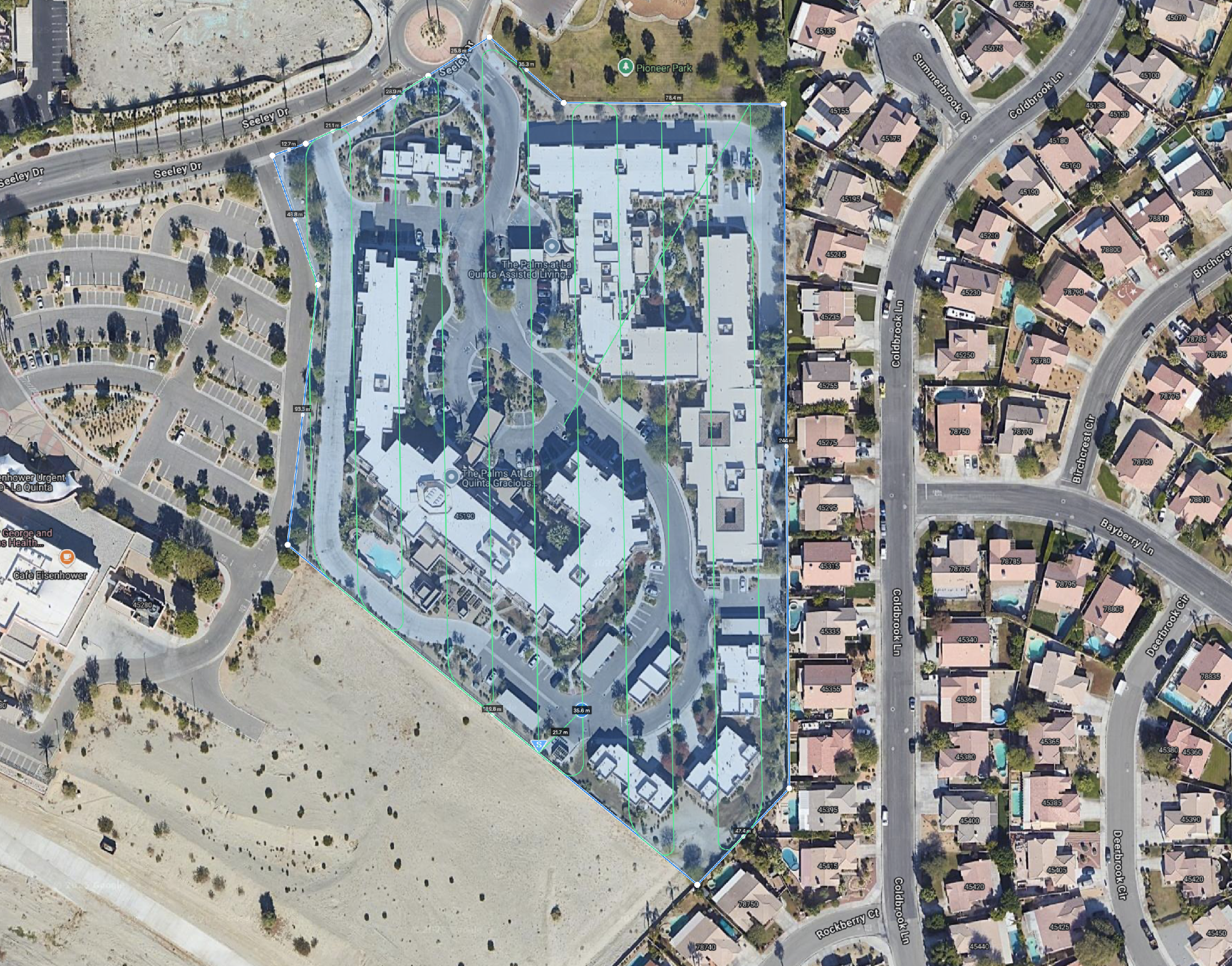
Our orthomosaic services capture high-resolution images that we stitch together using special software to deliver a highly detailed, accurate image.
Orthomosaics are used to create detailed maps that can be used for planning, measuring distances, and monitoring changes over time.
In construction orthomosaics can be used to monitor supplies, measure rooftops, and plan schedules.
In mining orthomosaics can be used to count resources such as stockpile volume, monitor progress, or make detailed plans.
Orthomosaics can be used to create accurate solar system designs, production estimates, and hardware costs.
A digital twin is a virtual representation of a physical object, created using aerial data and simulation models. It serves as a virtual counterpart to its real-world twin, enabling analysis, monitoring, and optimization of the entity it represents.
Digital twins are often used in manufacturing, property management, urban planning, and construction, to improve decision-making, enhance performance, and reduce costs.


